Key Resources
Let's be honest here, nobody goes hiking because they love to dig through websites trying to find the right tools and resources they need. The purpose of our resources page is to cleanly and concisely lay out the many sites, organizations, and downloadable tools that we have found to be useful in keeping us safe and prepared on the trail. We are hikers as well, and we would much rather be out on the trail hiking (and maybe getting lost...), than be wandering through a forest of useless websites on our computers and phones trying to figure out what gear to bring and where to go.
Below you'll find our collection of handpicked resources organized into categories to quickly help you get exactly what you need. If you are looking for what trails to hike and relevant insight into those trails, you should check out the sites listed under the Trails and Reviews category. If you are looking for places to check the weather, temperature, or snow cover, check out the resources gathered under the Weather and Conditions category. If accurate maps or GPS tracking is what you are looking for, look under the GPS and Navigation category.
Trails and Reviews
AllTrails
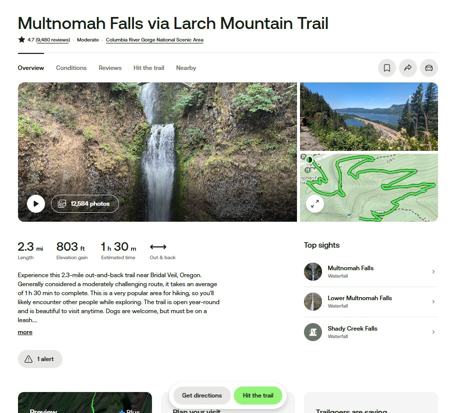
Whether you're looking for an easy stroll to a waterfall or a grueling all-day summit push, AllTrails helps you find the right trail for the day. With community reviews, trail conditions, photos, and difficulty ratings, it's like asking a thousand hikers what they thought before you even lace up your boots. It's perfect for discovering new hikes and getting a sense of what to expect, including whether or not you'll be dodging mud, bugs, or crowds.
Gorge Friends
These are the folks who know the Gorge best. Friends of the Columbia Gorge is a nonprofit dedicated to preserving the beauty and accessibility of the area. Their site offers trail guides, conservation news, and up-to-date alerts on trail closures or conditions. If you care about the future of hiking in the Gorge, this is the group to follow, and the resource to check before heading out.
Weather and Conditions
MSN Weather
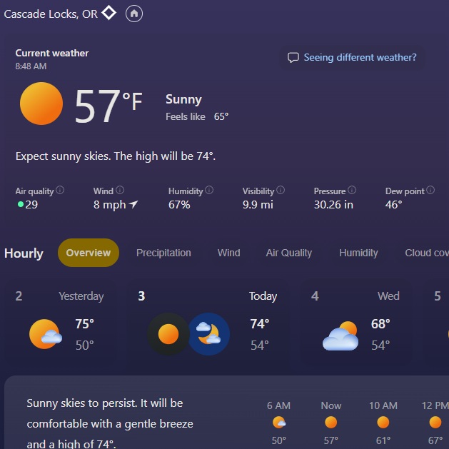
The weather in the gorge can be finicky at best, and it's good to be prepared for whatever you may face that day. From experience, being stuck and unprepared 5 miles into a trail with either unexpected rain, or extreme temperatures, calls for an unpleasant excursion. MSN Weather provides accurate hourly and daily temperature and climate forecasts. You can check for wind, air quality, humidity and precipitation.
NOAA Snow Maps
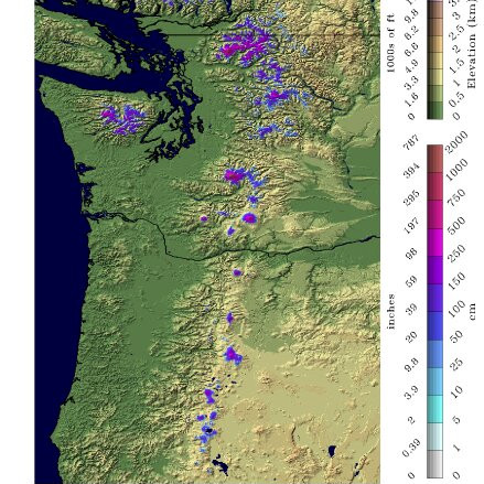
Winter hiking (or even spring hiking in higher elevations) can mean unpredictable snow conditions, and that's where NOAA Snow Maps come in handy. These maps offer current snow depth and snowpack data across the Pacific Northwest. Whether you're trying to avoid a postholing nightmare or planning a snowshoe trip, checking snow coverage can make or break your day, along with keeping you safe.
GPS and Navigation
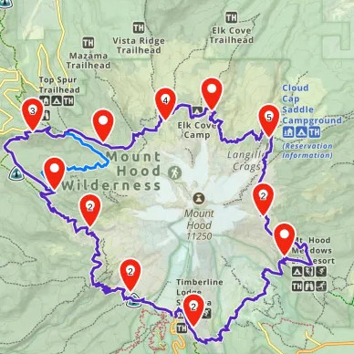
Forrest Service Maps
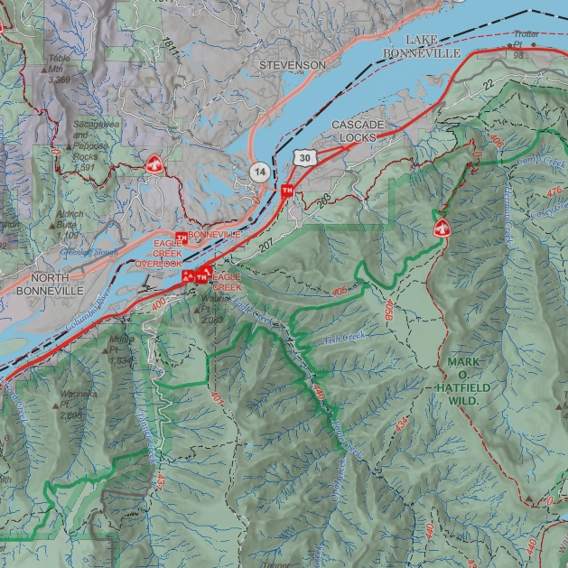
When you're venturing into the wilderness, sometimes old-school still wins. Forest Service Maps are reliable, detailed, and specifically designed for outdoor recreation on federal lands. These paper or digital maps are perfect for understanding trail networks, identifying forest boundaries, and spotting campsites, trailheads, and water sources. They don't rely on cell service, and they won't let you down when your GPS battery dies, which we all know happens more often than we'd like.
Gaia GPS
For those who want topographic precision in their pocket, Gaia GPS is the gold standard. This app turns your phone into a powerful navigation tool, letting you download maps ahead of time, track your route, and mark important waypoints. You can layer trails, terrain, and satellite imagery to get a full view of where you're heading. It's especially helpful in the backcountry, where connectivity drops and the trail might get a little fuzzy.